Visualizzazione post con etichetta allenamento bertinetto ultratrail. Mostra tutti i post

mercoledì 23 agosto 2023

The 58km Ring of the Ducklings Trail under scorching heat!


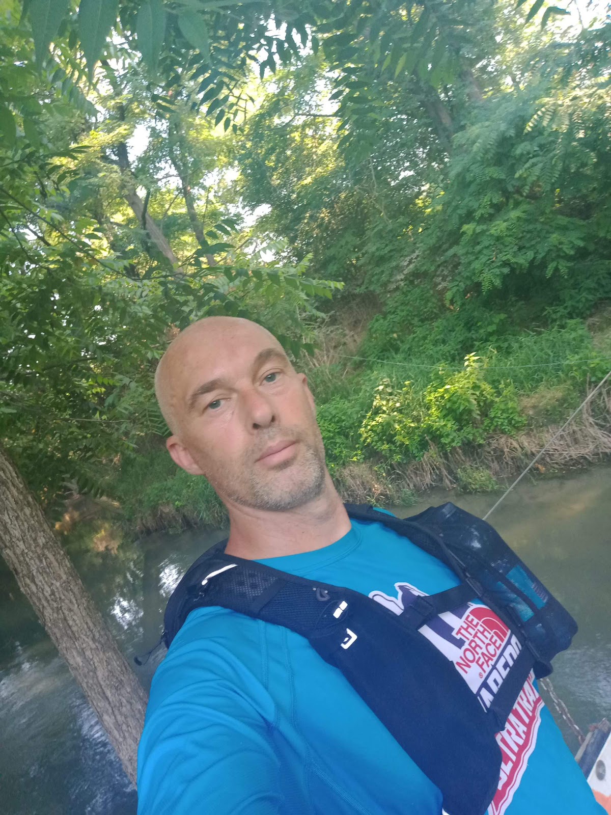
Shot along the route

I knew that today (Monday, 10th of July, 2023) was going to be an extremely hot day; nevertheless, I wanted to embark on this 58km walking adventure because I have other plans scheduled and couldn't postpone them... I try to make the most of the summer break from work, even though it's not true relaxation because I'm constantly engaged in my Osteopathy studies, which take up several hours a day, although I'm nearing the end of my training.
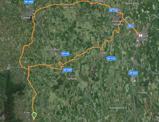

The 58km loop

So, this morning I woke up at 5:00 and started preparing the gear to put in my backpack. It's always important not to forget anything because it comes back to haunt you when you're alone during the excursion! I started at 6:15 or a little before. From Madonna delle Grazie di Envie, I immediately took the cycle path 'Via della Pietra', then headed towards the sewage treatment plant and crossed the ford of the Ghiandone river, which I easily crossed as there was little water despite the flood some time ago. However, the ambient temperature at that time was really pleasant. I continued towards Crocera di Barge, passing by the restaurant/riding stable 'Cascina Nuova', and upon reaching the main road, the first issue presented itself: a private property with a lowered bar. It's frustrating to see the road you need to reach just a few meters away and not be able to get there due to these "nuisances". So, I improvised on the spot and noticed the raised edge of a rice paddy which I followed for a while. Then I had to descend into the cultivation, staying along the edge, otherwise, my ankles would be covered in water and mud! I then reached the main road towards Saluzzo for 200 meters and crossed that very busy stretch to reach the inner countryside road towards Cardè. It's a dreamy place, immersed in nothingness, with a few large farmhouses scattered around. The temperature here was still quite bearable. However, that tranquil area didn't last long, as I was forced to take the old road that connects Cardè to Crocera di Barge. There isn't much space for pedestrian passage here, and the white line is close to the edge. Quite dangerous! I wonder when they will decide to create a cycle path alongside every road?! It would be a big step for everyone's safety and a sign of civilization. But perhaps, as often happens in the context of roads, the various administrations always wait for an accident before taking action...


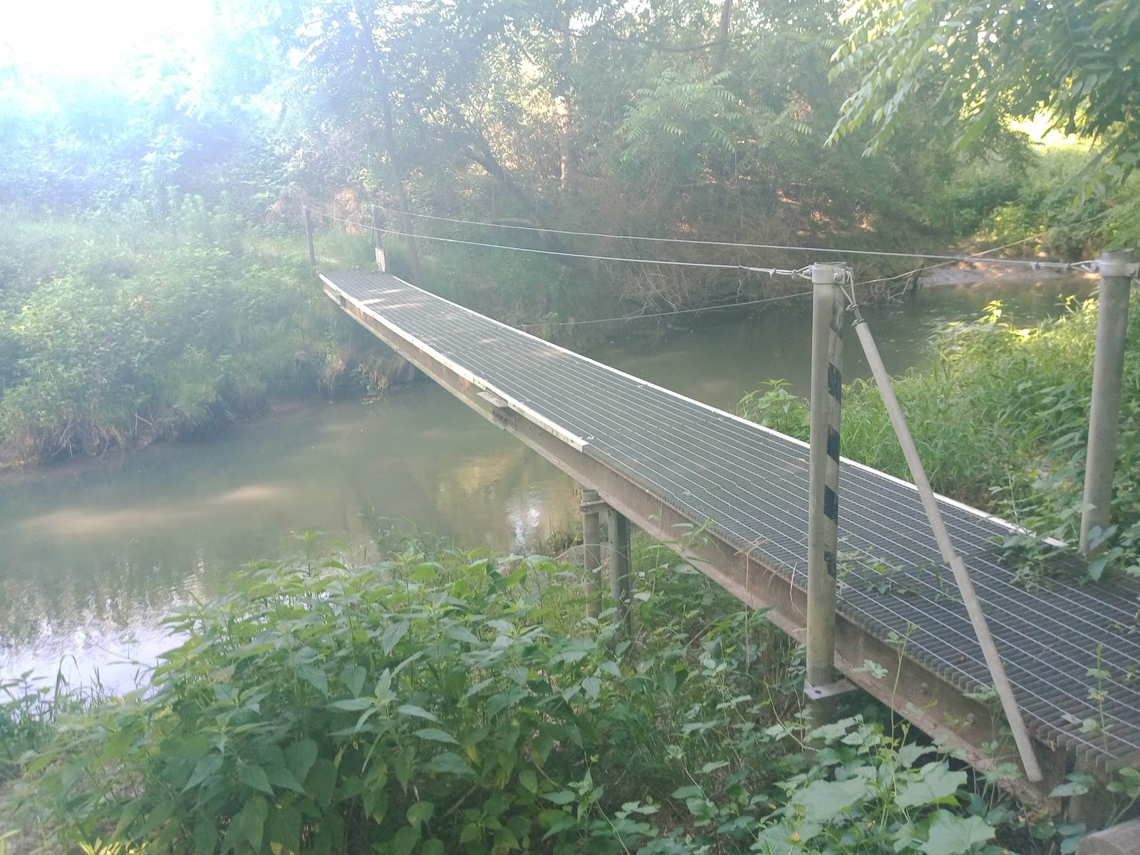
A bridge over a tributary of the Po
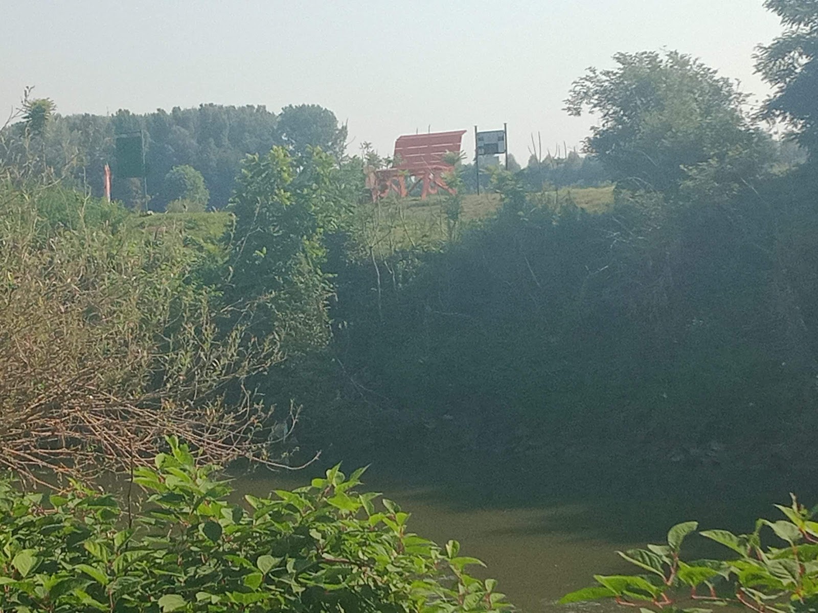

A glimpse of the Po

I reached Cardè after a few kilometers, and fortunately, before reaching the bridge, I met an old client of mine from the Tempio del Fitness gym, who provided me with useful directions to the entrance of the Ducklings Trail. In fact, I wanted to go on the right side to be already oriented towards Moretta, but he informed me that that side had been blocked due to the last flood and in some places, it would have been difficult to pass. So, I opted for the left side.

It's a very natural trail with panoramic views of the imposing Po river, which grows in size as you proceed towards Villafranca, becoming truly impressive in some spots! I encountered several passersby, which shows that it's a highly frequented route. In about five or six kilometers, I reached the bridge that connects Villafranca to Moretta, to join the cycle path. Here, the heat was starting to increase, but it was still tolerable. Along the cycle path, I appreciated the presence of a fountain in the shade, which I fully utilized. The cycle paths in our area often lack water and shade. In a short time, I reached the center of Moretta, a really charming village with its large central castle. So, the much-awaited coffee at the bar, an almost constant stop in all my walking adventures. I crossed the village without knowing it was market day, but no big deal.


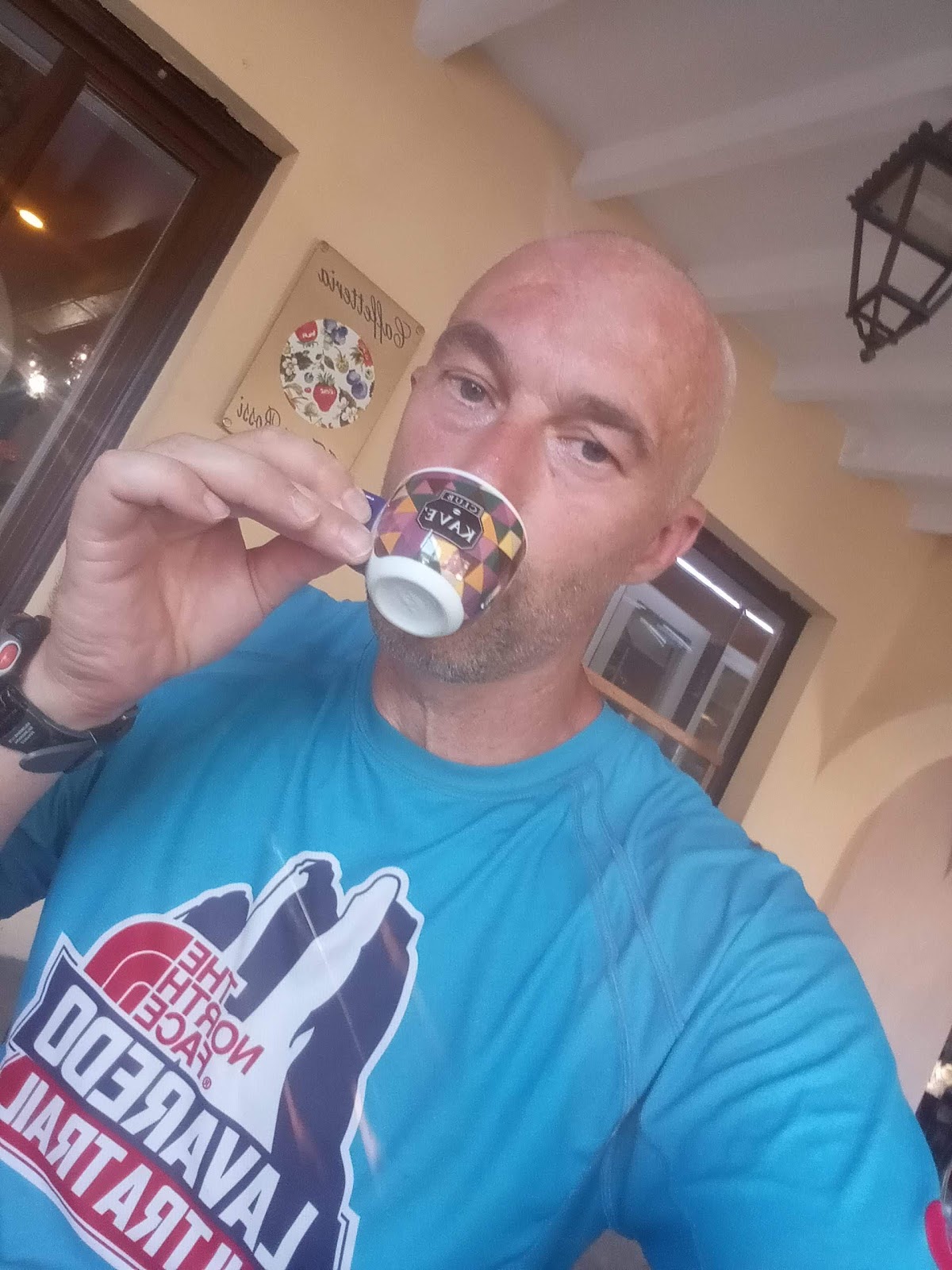
Coffee break in Moretta

Retracing the cycle path towards Villafranca, I realized that the heat was becoming intense. I passed through Villafranca to head towards the San Luca hamlet, towards Cavour, and I had to wear a cap since in the summer I tend to keep my head shaved and the sun can be dangerous. So, I looked for shaded areas and fountains (completely absent) along the route from then on (11:30). Along the way, I found an isolated tree not far from the road with a shadow that caught my attention, so I sat there and it was an opportunity for a very "natural" meal. Then I continued under an increasingly intense sun, hoping to find some water at the Church of San Luca, but there was none. In that area, I even reached the point of asking a local person for water. Continuing on that long country straight, I noticed an irrigation canal full of running water, which I promptly used to wet my cap and cool down as much as possible, even though I didn't think it was a good idea to drink the water.


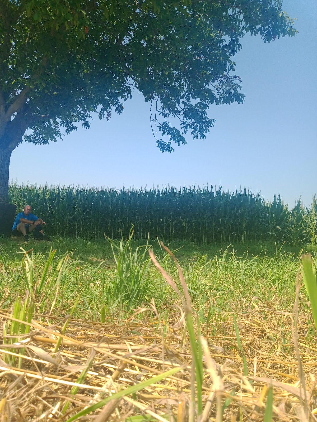
Snack break under a tree

Kilometer after kilometer, I finally reached Cavour, and the first place where I could find fresh water along my route was the cemetery, with welcome shade and not one, but two fountains ready to quench my massive thirst! I filled up the half-liter bottle I had with me and took the opportunity for a quick snack.


Marchierù Castle


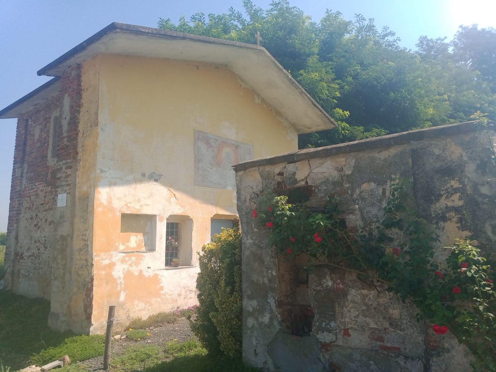
A small but charming chapel
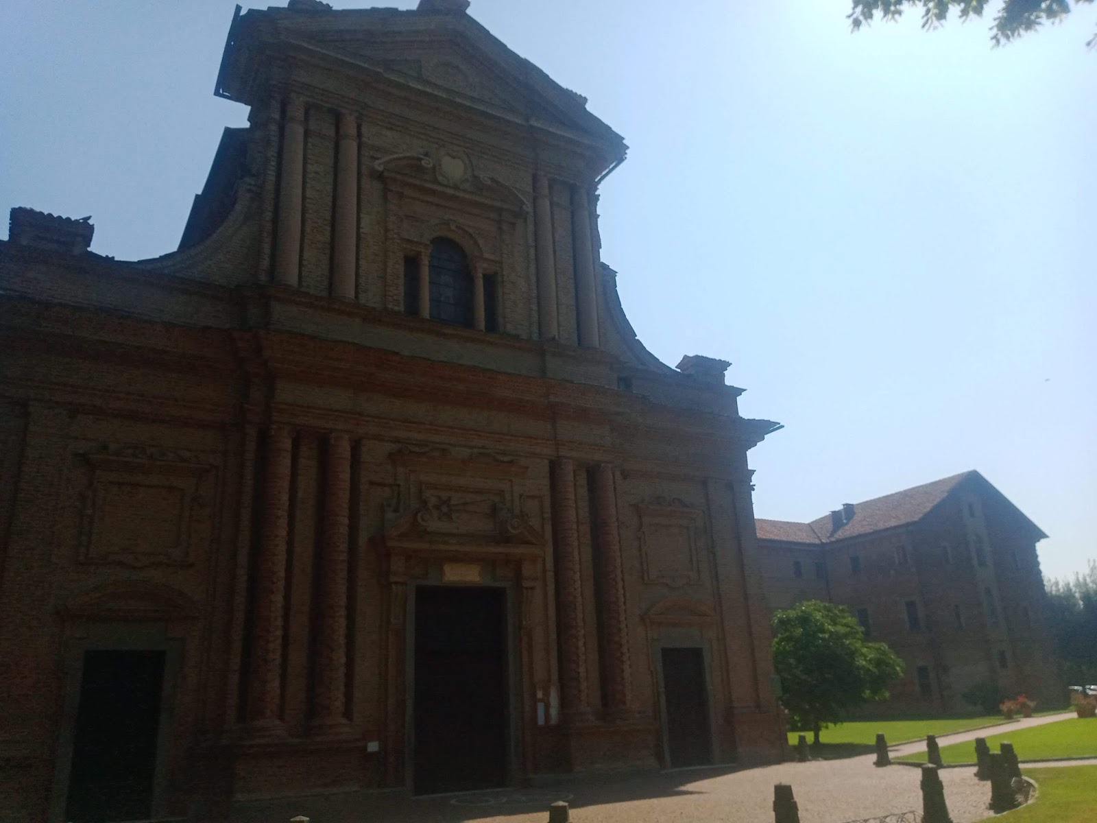
 

Moretta Sanctuary

The most challenging part, however, would come shortly after, going beyond the Rocca loop, passing through the Cursaglie area. I managed to find a fountain along the route. Then I continued towards San Martino. I have to write, though, that after 2:00 PM, I couldn't take a single running step anymore due to the extremely high temperature that surely exceeded 40°C (104°F). Once I passed San Martino di Barge, the situation worsened even more due to the heat, and the water in my water bottle was almost gone. I noticed a peach field with a drip irrigation system and went to refresh myself again in that watery environment, although it didn't seem appropriate to drink the water.


GPS data on the cell phone

Having reached the Ghiandone river once again, I felt close to home. So, I took the Via Vecchia di Barge, passed by the sewage treatment plant, and finally arrived home at 3:59 PM, the adventure concluded in 9 hours and 43 minutes total for a distance of 58.5km (36.3 miles).

LIVE YOUTUBE VIDEO:


This walking adventure was also prepared according to the principles of the Weekly Mono-Training technique, explained in the book 'UltraTrail with Mono-Training' - Fusta Editore.


Below is the detail of the reference links related to my ultratrail and trail articles:

Very long distances | Routes | Competitions | Solo adventures | Publications | Training strategy |
UltraTrail eBook  

 Home


lunedì 10 luglio 2023

L'anello del Sentiero delle Ochette di 58km sotto un caldo torrido!


Scatto lungo il percorso

Sapevo che oggi(lunedì 10-07-2023) sarebbe stata una giornata caldissima, nonostante ciò ho voluto prodigarmi in questa avventura di 58 km a piedi perché ho altri progetti in programma e non potevo rimandare... Cerco di sfruttare al massimo il riposo estivo dal lavoro, anche se non si tratta di un vero relax perché ho sempre l'impegno dello studio di Osteopatia che mi occupa diverse ore al giorno, anche se sono vicino alla chiusura della formazione.

L'anello di 58km

Quindi questa mattina mi sono svegliato alle 5.00 e ho iniziato i preparativi del materiale da mettere nello zaino. È sempre opportuno non scordare nulla perché poi si paga quando si è soli durante l'escursione! Sono partito alle 6.15 o poco prima. Da Madonna delle Grazie di Envie ho subito imboccato la ciclabile 'Via della Pietra', quindi ho preso direzione depuratore e poi ho attraversato il guado del fiume Ghiandone che ho superato facilmente dato che c'era poca acqua nonostante l'alluvione di qualche tempo fa. Tuttavia, la temperatura ambiente a quell'ora era davvero ottima. Ho proseguito in direzione di Crocera di Barge, passando accanto al ristorante/maneggio 'Cascina Nuova', e arrivato nei pressi dello stradone si è subito presentato il primo problema: una proprietà privata con una sbarra abbassata. È frustrante vedere la strada che devi raggiungere a pochi metri di distanza e non poterci arrivare a causa di questi "cavilli". Quindi, mi sono ingegnato sul momento e ho notato il bordo rialzato di una risaia che ho percorso fino a un certo punto. Poi sono stato costretto a scendere all'interno della coltivazione, mantenendomi sul bordo, altrimenti le caviglie sarebbero state coperte d'acqua e fango! Sono quindi arrivato allo stradone verso Saluzzo per 200 metri ed ho attraversato quel tratto molto trafficato per raggiungere la via della campagna più interna verso Cardè. È un posto da sogno, immerso nel nulla, con alcune grandi cascine sparse sul territorio. La temperatura qui era ancora ben sopportabile. Tuttavia, quella zona tranquilla è durata poco, dato che sono stato obbligato a percorrere il vecchio stradone che collega Cardè a Crocera di Barge. Qui non c'è molto spazio per il passaggio a piedi e la linea bianca è vicina al cordolo. Davvero pericoloso! Mi chiedo quando si decideranno a realizzare una ciclabile che affianchi ogni stradone?! Sarebbe un grande passo per la sicurezza di tutti e un segno di civiltà. Ma forse, come spesso accade nel contesto delle strade, le varie amministrazioni aspettano sempre che ci sia un incidente prima di agire...

Un ponte su un affluente del Po

Uno scorcio di Po

Ho raggiunto Cardè dopo qualche chilometro e fortunatamente, prima di arrivare al ponte, ho incontrato un mio vecchio cliente della palestra Tempio del Fitness che mi ha fornito utilissime indicazioni sull'imbocco del Sentiero delle Ochette. Infatti, volevo passare sul lato destro per essere già orientato verso Moretta, ma lui mi ha informato che quel lato è rimasto bloccato a causa dell'ultima alluvione e a tratti sarebbe stato difficile passare. Quindi ho optato per il lato sinistro.

Si tratta di un sentiero molto naturale e ricco di panorami sull'imponente fiume Po, che cresce di dimensioni man mano che si procede verso Villafranca e in alcuni punti diventa davvero impressionante! Ho incontrato diversi passanti, il che dimostra che si tratta di un percorso molto frequentato. In cinque o sei chilometri sono arrivato al ponte che collega Villafranca a Moretta per imboccare la ciclabile. Qui il caldo iniziava ad aumentare, ma era ancora tollerabile. Lungo la ciclabile ho apprezzato la presenza di una fontana all'ombra che ho pienamente sfruttato. Le ciclabili della nostra zona spesso sono prive di acqua e ombra. In poco tempo ho raggiunto il centro di Moretta, un paese davvero carino con il suo grande castello centrale. Quindi il tanto desiderato caffè al bar, una tappa pressoché fissa in tutte le mie avventure a piedi. Ho attraversato il paese senza sapere che era il giorno di mercato, ma poco male.

Caffè a Moretta

Ripercorrendo la ciclabile verso Villafranca mi sono reso conto che il caldo stava diventando intenso. Ho attraversato Villafranca per andare verso la frazione San Luca, verso Cavour, e ho dovuto indossare il cappellino dato che d'estate ho l'abitudine di tenere la testa rasata e il sole può essere pericoloso. Quindi ho cercato zone d'ombra e fontane (totalmente assenti) lungo il percorso da quel momento in poi (11.30). Lungo il percorso ho trovato un albero isolato non molto lontano dalla strada con un'ombra che ha attirato molto la mia attenzione, quindi mi sono seduto lì ed è stata l'occasione per un pasto molto "naturale". Quindi ho proseguito sotto un sole sempre più intenso, sperando di trovare un po' di acqua presso la Chiesa di San Luca, ma niente. In quella zona sono addirittura arrivato al punto di chiedere acqua a una persona del posto. Proseguendo su quel lungo rettilineo di campagna, ho notato un canale di irrigazione agricola pieno d'acqua corrente, che ho prontamente usato per bagnare il cappellino e rinfrescarmi il più possibile, anche se non mi è sembrato il caso di bere.

Pausa spuntino sotto un'albero

Chilometro dopo chilometro sono finalmente arrivato a Cavour e il primo luogo dove potevo trovare acqua fresca lungo il mio percorso è stato il cimitero, con una gradita ombra e nientemeno che due fontane pronte a soddisfare la mia sete imponente! Ho riempito la bottiglietta da mezzo litro che portavo con me e ho approfittato per fare anche uno spuntino veloce.


Castello Marchierù

Una Cappelletta piccola ma carina

Santuario di Moretta

La parte più difficile però sarebbe arrivata poco dopo, andando oltre il giro della Rocca, passando per la zona delle Cursaglie. Sono riuscito a trovare una fontana lungo il percorso. Poi ho continuato verso San Martino. Devo scrivere però che dopo le 14.00 non sono più riuscito a fare un solo passo di corsa a causa dell'altissima temperatura che sicuramente superava i 40°C. Una volta superato San Martino di Barge, la situazione è peggiorata ancora a causa del caldo e l'acqua nella borraccia era ormai quasi finita. Ho notato un campo di pesche con un sistema di irrigazione a goccia e sono andato a rinfrescarmi nuovamente in quell'ambiente idrico, anche se non mi è sembrato opportuno bere l'acqua.

Dati gps al cellulare

Raggiunto nuovamente il fiume Ghiandone, mi sono sentito vicino a casa. Quindi ho percorso la Via Vecchia di Barge, passato dal depuratore e infine sono arrivato a casa alle ore 15.59, avventura conclusa in 9 ore e 43 minuti complessivi per un totale di 58,5km.

VIDEO LIVE YOUTUBE:


Anche questa avventura a piedi è stata preparata secondo i dogmi della tecnica del Monoallenamento Settimanale, spiegata nel libro 'UltraTrail con il Monoallenamento' - Fusta Editore


Segue il dettaglio dei link di riferimento riguardo ai miei articoli ultratrail e trail:


Cerca nel blog