I planned this walking adventure from Pian Muné to Sant'Anna di Bellino in preparation for a future project taking shape this summer.
So, I set off at around 6:30 AM on Sunday, May 11, 2025, heading toward Rifugio Bertorello, which I reached shortly afterward by following the beautiful mule track accessible to vehicles.
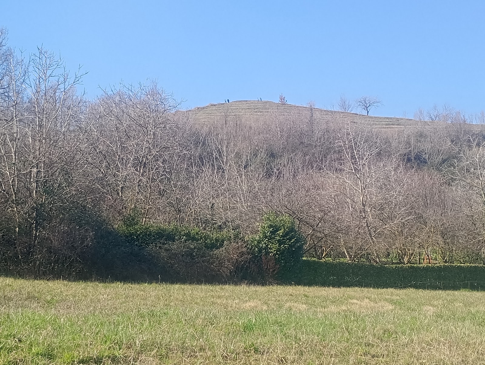
The route begins with a gentle incline that stretches for about 2 km, then continues along the ridge of the mid-mountain toward Pian Pilun for another 4 km. At one point, the ascent becomes steeper as it passes through a dense pine forest.


Heading toward Col del Prete, after the junction with Gilba, I kept to the right and continued along a new, continuous gentle incline for several kilometers.
Upon reaching the curve near the road to Becetto, the ascent remains fairly steady, with an elevation gain of several hundred meters—though the difficulty remains relatively moderate.

After reaching Col del Prete, I took a quick break for a snack.
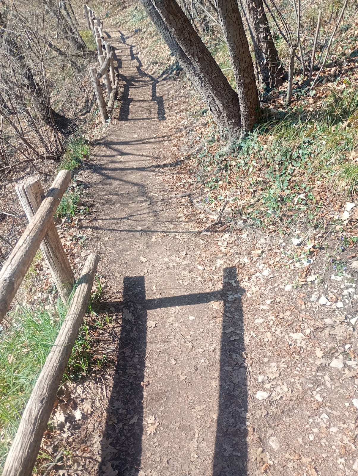
Then began a steady descent toward Becetto, stretching several kilometers, which cost me all the elevation gain I had achieved. Upon arriving in Becetto, after traversing mule tracks, trails, and paved roads, I treated myself to another short snack break.
At this point, I still had several hours of walking ahead, and fatigue had yet to set in. My body felt fresh, but hunger was starting to become persistent. I tried to keep my appetite in check, knowing that a rushed digestion could potentially impact my journey—perhaps a hasty breakfast that morning before setting out was partly to blame.


I continued descending toward Sampeyre and stopped for my first coffee in the town center.
At the counter, I had the pleasant surprise of running into an old friend with whom I collaborated years ago at the Paesana swimming pool—good times!
Step by step, I had already covered 18 km, but the remaining distance was still significant. So, I resumed my journey along the mule track running beside the Varaita stream, which flowed wild and fast, as I made my way toward Casteldelfino.
Once in Casteldelfino, I headed to the Libreria Alpina of Fusta Editore, but unfortunately, it was closed for lunch break. So, I took another coffee break at a unique mountain bar, a place with a multifaceted soul—gas station, café, grocery store, and newsstand all in one! Absolutely fantastic, just the kind of spot I love.


Meanwhile, the weather was changing, and a little farther ahead toward Bellino, the sky grew increasingly darker.
As I ascended toward Bellino, the landscape unfolded into a breathtaking spectacle—high-altitude mountains, abundant snow, isolated hamlets, grazing cows, and countless flowers.
The climb continued relentlessly between Pian Muné and Sant’Anna, making the pace rather slow. A long and steady ascent still separated Casteldelfino from the 30th kilometer and Sant’Anna di Bellino from the 40th.
At this point, I decided to stop at Rifugio Melezé, where last year I had given a PNRR school conference on astronomy alongside my friend Sergio. Here, I indulged in a small snack—an exquisite chocolate and raspberry cake paired with a cappuccino, the perfect reward for the journey’s efforts.
At the Rifugio, they asked me where I was coming from, and, in disbelief, they listened to my story about the route I had taken.


Just under a kilometer, and I reached Sant’Anna—I had finally arrived at the final destination.
A place rich in memories of summers spent in the mountains with my daughters when they were still little, staying at the colony, which each year hosts dozens of children and teenagers, sponsored by the Church.
A few drops of rain mixed with hail on the return, but nothing concerning. Shortly afterward, I took the opportunity for a car ride back home, beyond the town of Casteldelfino.


I conclude by saying that the pace was truly calm (slow), with stops for photos, videos, snacks, and long gazes at the breathtaking mountain landscapes between the Po Valley and the Varaita Valley.
It was almost entirely an uphill route, interrupted only by gentle inclines—except for the descent between Col del Prete and Sampeyre.


The choice to maintain a slow pace proved wise, driven by energy conservation.
Overall, I covered just over 52 km in 11 hours and 25 minutes, with 1,580 meters of elevation gain. The route was highly scenic, with few opportunities for running due to the continuous ascents.
For this outing as well, I followed the guidelines of the Weekly Single-Workout Technique, described in the book UltraTrail con il Monoallenamento, published by Fusta Editore.

GPS route on Komoot, from Garmin Fenix 7:
https://www.komoot.com/it-it/tour/2235710694
Live video of the journey between Pian Muné and Sant'Anna di Bellino
Below is the detail of
the reference links related to my ultratrail and trail articles:
Very long distances |
Routes |
Competitions |
Solo adventures |
TRAVEL TRAIL |
Publications |
Training strategy |
UltraTrail eBook
|