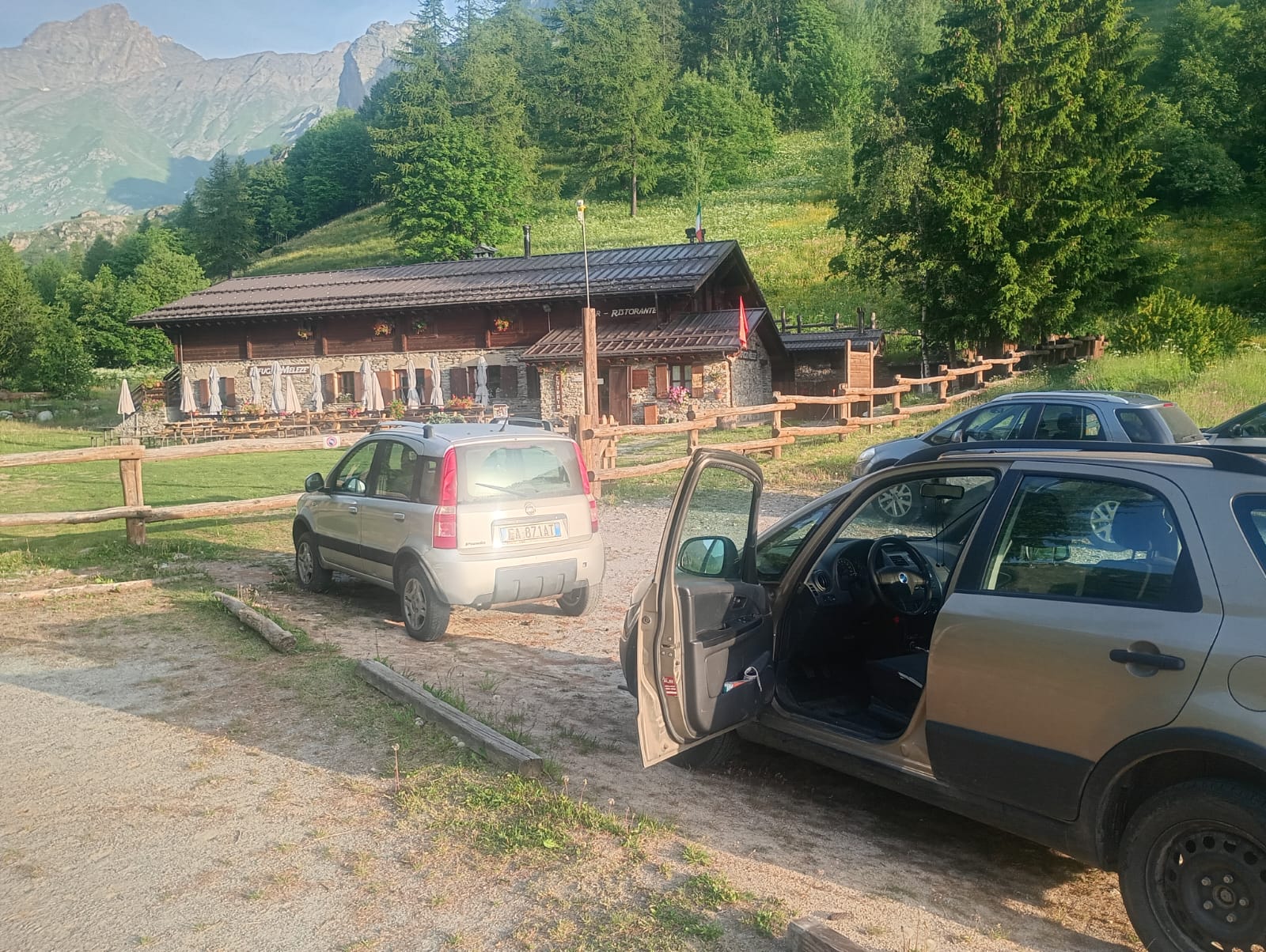
Today(14-06-2025), I finally embarked on a hiking adventure that I had been planning for several weeks but was forced to postpone until the snow melted, given that the highest altitude reached was nearly 2,850 meters!
The original idea was to complete the entire route from Rifugio Melezé to Acceglio (Viviere), but there remained the issue of retrieving the car, which would have meant a tedious return along the same path for many kilometers.
During the night (with little to no sleep!), I came up with the idea of splitting the journey and heading to the highest planned altitude to reach the beautiful Bivacco Carmagnola. After reaching this intermediate stop, I returned to my car. I will tackle the other part of the route from Acceglio to Bivacco Carmagnola on the next suitable occasion.
As I already mentioned during the adventure between Pian Muné and Sant’Anna, these routes will be part of a broader plan that I am gradually building… But I won’t reveal anything yet, as I’m waiting for all the trails to be completed to create one great itinerary!
I set off from Rifugio Melezé at 7:16 and followed the gentle incline to Sant’Anna di Bellino on asphalt. From there, the road turned into a passable dirt mule track. Though almost immediately, I took the wrong direction—perhaps due to the narrow valley, my Garmin acted up. After about fifteen minutes heading the wrong way (toward Rocca Senghi), a passerby pointed me toward the correct route...

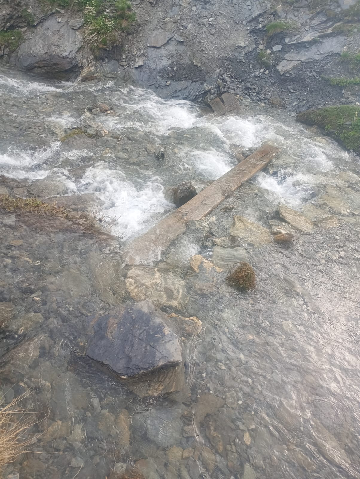
I continued through flat pastures with a steady ascent. At a certain point, however, after passing Pian Ceiol and heading toward Le Barricate, the incline became truly demanding! The path runs alongside a rushing stream, a tributary of the Varaita di Bellino. Here, the trail follows the stone-lined edge, right beside some small waterfalls. Crossing the water requires great caution, as there are a few beams just 20 cm wide—one must step carefully, one foot in front of the other... or risk an unfortunate plunge into the water!
Moving forward, a new plateau opens up, with high-altitude pastures and a few old mountain huts—perhaps abandoned, but not in terrible condition. I wonder what it must be like to live up there, so far from everything! Grange dell’Autaret area.


There was no snow, but as I ascended toward 2,800 meters, I encountered many rocky patches mixed with scree. Some required caution, as small streams flowed beneath them, their murmuring sound constantly audible.
The scree consisted of thin fragments that slipped away underfoot, further complicated by the high presence of water on the ground, which made everything slick.
As I approached the watershed ridge, I started to glimpse a few structures. The most intriguing one, which I didn’t visit, was a large reinforced concrete bunker—a remnant of the war. Then, a clearly visible meteorological antenna and several scattered stone structures nearby.


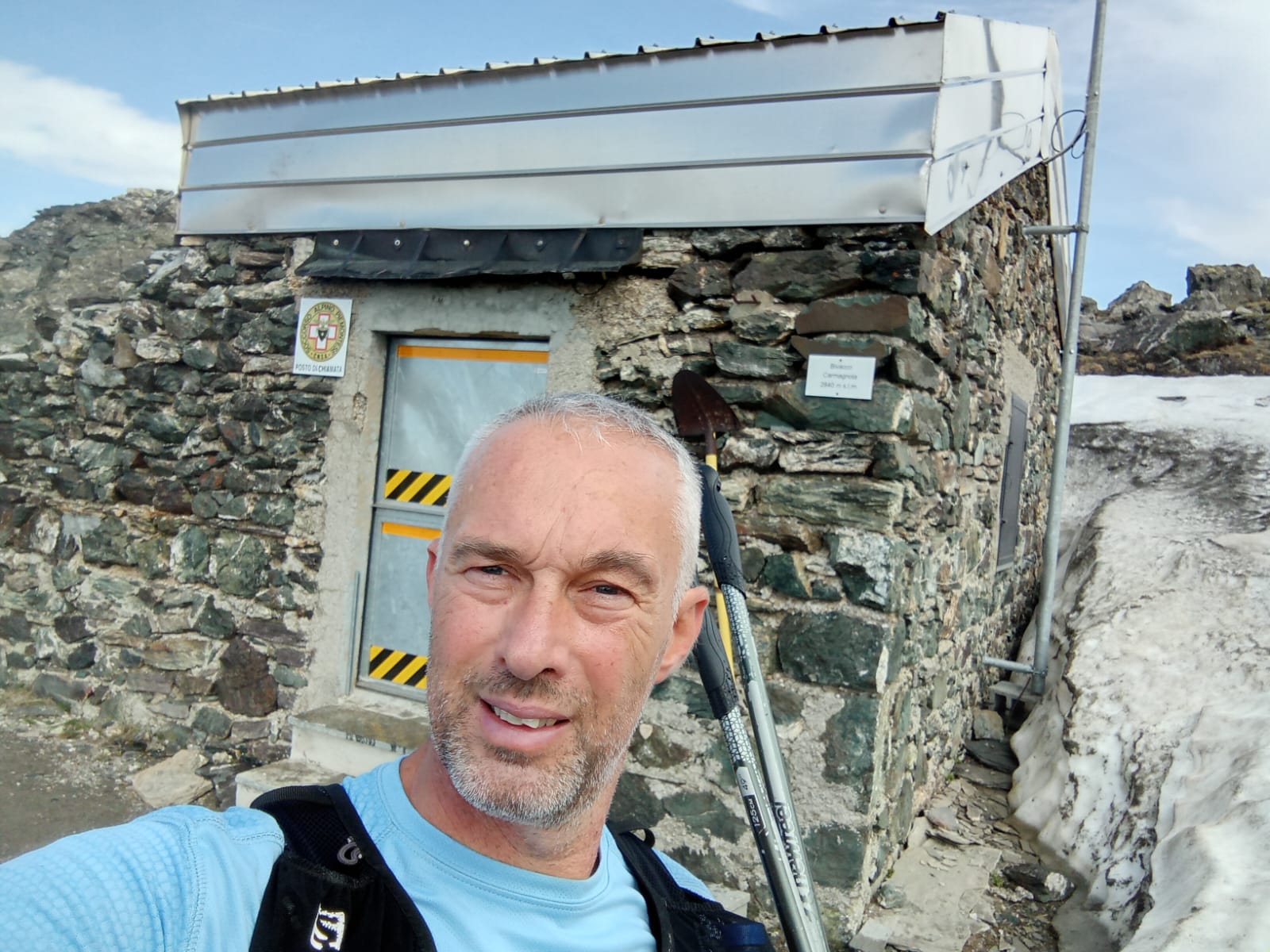
From the Bellino side, there were no visible signs indicating the presence of the bivouac… which was quite alarming! However, once I reached the ridge and followed the markings toward the summit (La Colletta near Monte Faraut, trail S2), just a little further ahead, the bivouac appeared in all its glory!
At first glance, it seemed small, but once inside, the perception changed—it was entirely made of wood, with several bunk beds, a radio area, solar-powered electricity, some food supplies, various tools, and more. A place open to all, yet one that demands great respect from those passing through, as keeping it intact is essential!


After completing the exploration at an altitude of 2,840 meters, around 10:10 AM, I began the descent back. On the rocky terrain, I improvised, taking a more direct route compared to the ascent, especially since the path was only partially visible due to patches of snow.
It’s incredible how the return journey, partly because of the downhill slope and partly due to the eagerness to get back, is always noticeably faster than the ascent!
As the morning progressed, I started crossing paths with hikers making their way up while I was descending. The heat was becoming noticeable, though during the climb, I had occasionally encountered a light drizzle that had provided some refreshing relief.
I reached Rifugio Melezé just before noon, covering a total distance of 17.66 km in 4 hours and 28 minutes. A customary post-hike coffee at the refuge, a quick chat with the host, and then back home by car.


As is my custom, this adventure was prepared using the Weekly Single-Training Technique. Although it didn’t fully align with a trail-running style—except for the downhill running—I still completed the route in a hiking mode, following the principle of a single weekly training session, as this method teaches, to protect the joints and support recovery.
Video Live Youtube of adventure:
Below is the detail of
the reference links related to my ultratrail and trail articles:
Very long distances |
Routes |
Competitions |
Solo adventures |
TRAVEL TRAIL |
Publications |
Training strategy |
UltraTrail eBook
|
Nessun commento:
Posta un commento